
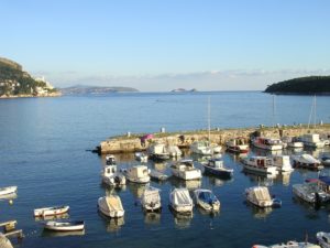


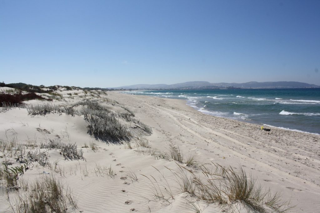
The coastline is a space of convergence and competition that both unites and separates, yet it remains a vector for regional cooperation. The coastline concentrates most of the economic activities in the Mediterranean (tourism, fishing, aquaculture, etc.) and is home to one in three Mediterranean residents. Integrated Coastal Zone Management (ICZM) thus represents an essential governance tool for integration within the Mediterranean.
Integrated Coastal Zone Management (ICZM): A Governance Tool
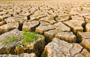
ICZM aims to reconcile economic development, environmental protection, and adaptation to emerging challenges, particularly climate change. It relies on frameworks (international agreements, management plans, etc.) and tools such as the ICZM Protocol, which entered into force in 2011 and encourages Mediterranean countries to adopt balanced policies for the sustainable management of their coastlines.
Plan Bleu’s Activities from the 2000s to Today
Since the 2000s, Plan Bleu, as an environmental and development observatory, has conducted numerous studies and programs on coastal areas, notably through its participation in Coastal Area Management Programmes (CAMPs) and the development of participatory foresight methods such as Imagine, now adapted as Climagine to address climate change challenges.
In 2015, Plan Bleu collaborated with the MedSea Foundation to develop a coastal risk index at the scale of CAMP Var (France).
An International Agreement and a Regional Protocol for Coastal Zones
- On March 24, 2011, after ratification by five countries and the European Union, an international agreement on the Mediterranean coast entered into force as a regional protocol on ICZM.
- This protocol is crucial in the history of the Mediterranean Action Plan (MAP), enabling countries to better manage their coastal zones by adopting coastal policies that ensure a balance between environmental protection and economic development, while adapting to emerging issues such as climate change.
- The European research project PEGASO (2010-2014) supported the implementation of the ICZM Protocol in the Mediterranean through prospective studies and the development of tools (indicators, scenarios, economic evaluations).
Activities for Mediterranean Coastal Regions
- Adaptation of the ‘Imagine’ method to ‘Climagine’ within the project “Integration of climate variability and change into national ICZM strategies,” as part of the MedPartnership program, co-financed by the Global Environment Facility (GEF) under the “Sustainable Med” program.
- Refinement of coastal indicators for sustainable development.
- New assessments and prospective analyses on Development/Environment relationships, notably through the Med 2050 foresight exercise and implementation of the Mediterranean Strategy for Sustainable Development (MSSD).
- Development of a coastal risk index for all Mediterranean coastal countries, identifying “hotspots” for further study, including those covered by the RAMOGE agreement.
- Within the MedProgramme, funded by the Global Environment Facility (GEF) and implemented by UNEP/MAP, Plan Bleu works closely with PAP/RAC to support the development of national strategies and coastal plans, while developing methodological guides. Between 2020 and 2025, this program mobilizes a budget of $43 million and involves ten Mediterranean coastal countries, including Morocco, Lebanon, and Montenegro, where Plan Bleu has carried out specific activities.
-
- Among the flagship actions of the FSCC sub-project are gender-sensitive climate risk assessments at pilot sites such as Kotor Bay in Montenegro and the Tanger-Tetouan-Al Hoceima region in Morocco, using indices such as the Gender-Development-Index and Gender-Inequality-Index, with results published on the Plan Bleu Observatory.
-
- Regional capacity building through training on Nature-based Solutions (NbS) and Ecosystem-based Adaptation (EbA), organized in Kotor and Tangier in autumn 2024, highlighting their role in coastal adaptation, integrated management, and food and water security. Lessons learned are summarized in a bilingual report.
-
- Mobilizing funding for coastal adaptation remains a challenge, with adaptation receiving a limited share of funds compared to mitigation. Studies in 2024 assessed the capacity of Montenegro and Morocco to mobilize resources, while regional events raised awareness and engaged the private sector. Findings are presented in a dedicated report on financing adaptation in the Mediterranean.
-
- Plan Bleu has supported the development of coastal plans using the participatory Climagine methodology in four workshops per pilot site in Morocco and Montenegro, resulting in detailed reports and strategic recommendations for coastal plans. This approach made it possible to identify sustainability dimensions, define indicators, develop balance diagrams, and formulate strategic recommendations for coastal plans.
-
- Until the end of 2025, Plan Bleu is supporting Lebanon in organizing three participatory workshops to draft the new national ICZM strategy and law, as well as to develop the integrated management plan for Damour. The Climagine methodology will be applied at both national and local levels to prioritize issues, define key sectors, and develop sustainability indicators, which will serve as a dashboard to monitor progress toward sustainability. This process will lead to the production of several reports and the publication of a methodological guide for ICZM practitioners, scheduled for release at the end of 2025, followed by a technical workshop in Marseille in early 2026.