
")

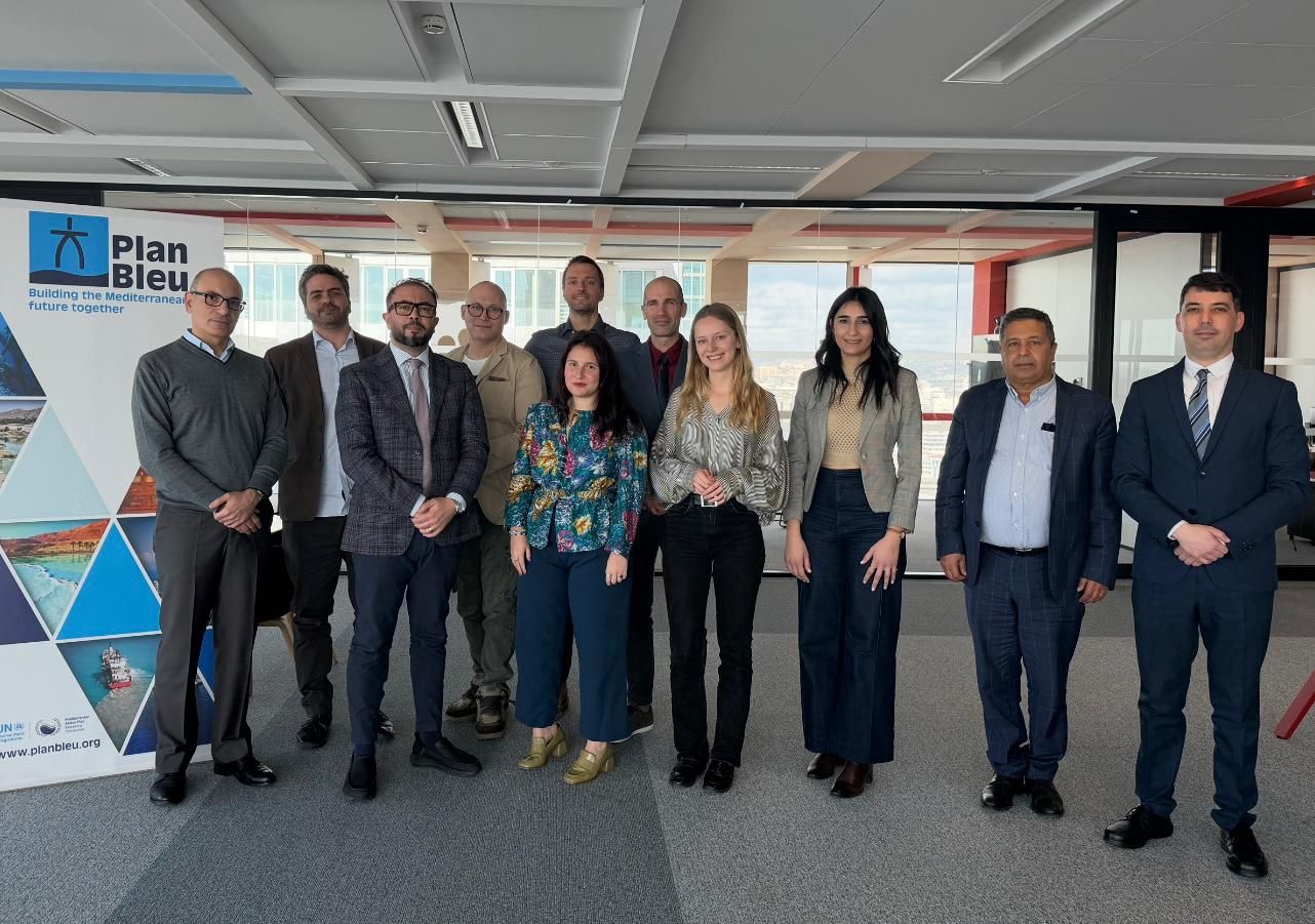
On 18 – 19 February 2026, Plan Bleu organized a Climagine workshop in Marseille to capitalize on more than ten years of implementation across the Mediterranean. Representatives from Montenegro, Morocco, and Lebanon, together with PAP/RAC
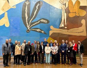
On 12 February 2026, UNESCO headquarters in Paris hosted the 6th Steering Committee meeting of the MedProgramme project focused on Mediterranean coastal zones, with an emphasis on water security, climate resilience, and habitat protection.
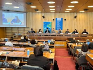
On 10 and 11 February 2026, UNESCO Headquarters in Paris hosted the International Symposium “Coastal Aquifers, Sustainable Futures”, dedicated to the future of coastal aquifers in the face of climate and anthropogenic pressures. On this
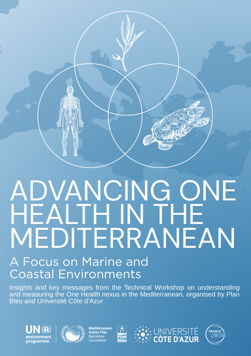
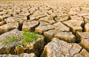
This report explores the application of the One Health approach in the Mediterranean, with a specific focus on marine and coastal environments, where interactions between human, animal and ecosystem health are particularly strong. Based on …
Read more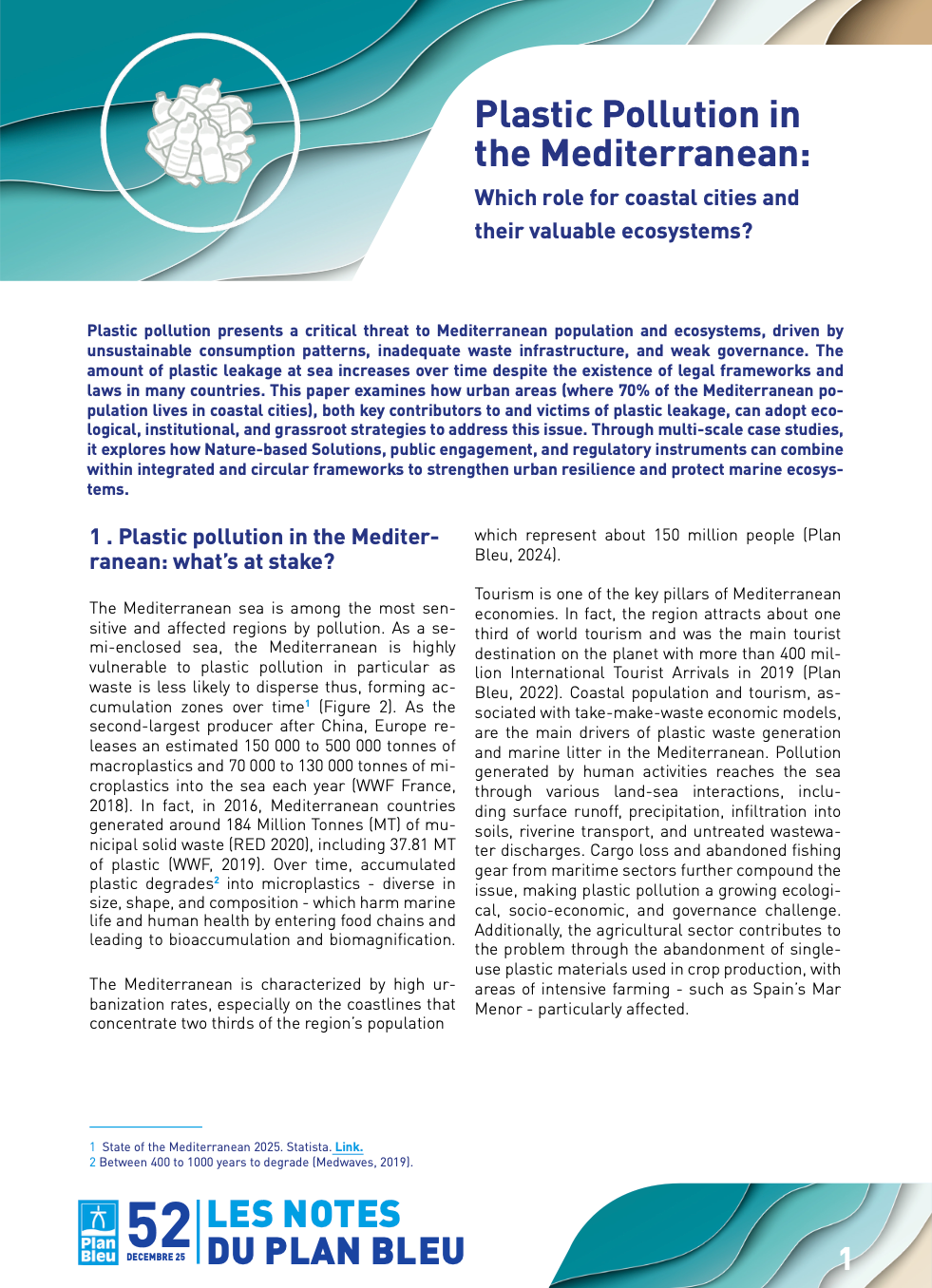
Plastic pollution poses a growing threat to Mediterranean populations and ecosystems, driven by unsustainable consumption patterns, insufficient waste management, and governance gaps. Despite existing legal frameworks in many countries, plastic leakage into the sea continues …
Read more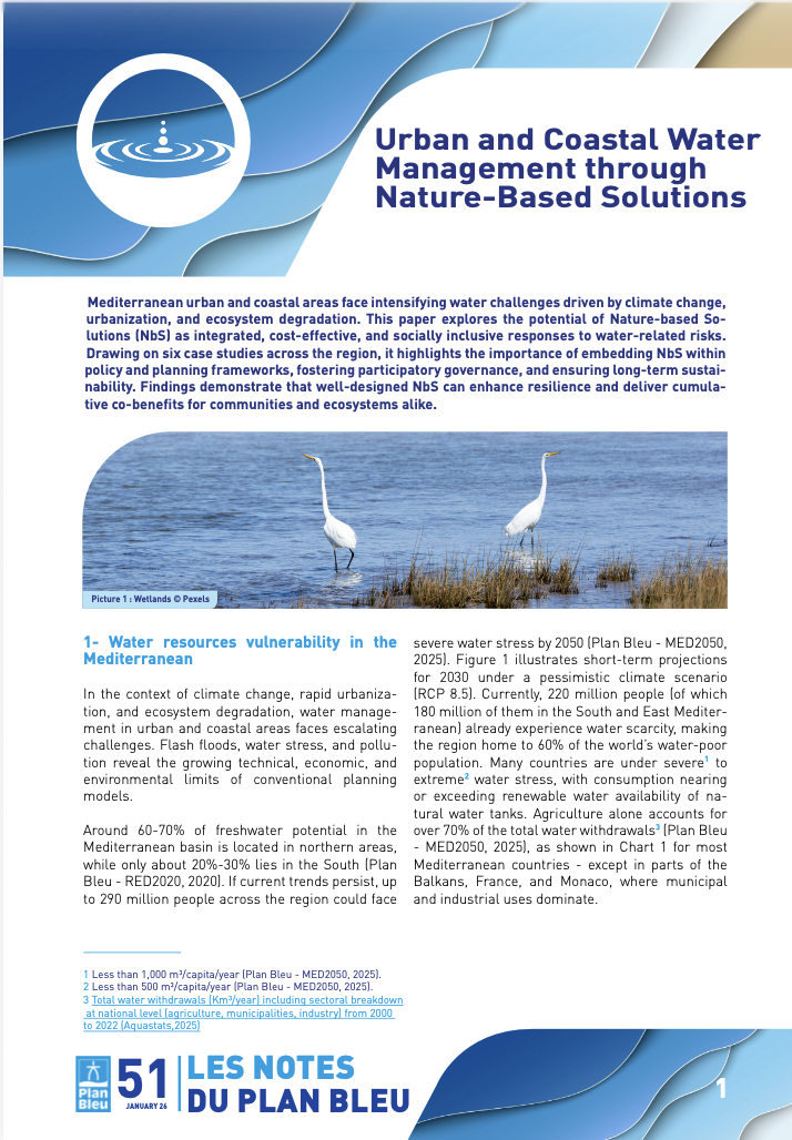
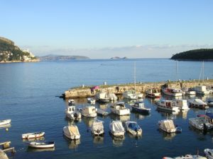
In response to growing water-related challenges in Mediterranean urban and coastal areas, this policy note examines the potential of Nature-Based Solutions (NbS) as integrated, sustainable, and inclusive approaches. Based on six regional case studies, it …
Read more


")
")
")