Plan Bleu, as part of its ongoing commitment to enrich its socio-economic and enviromental Observatory, is pleased to announce the publication of 53 new views within the MapX tool. These new views allow users to explore more extensively the complex realities of the Mediterranean region.Whether you are interested in social dynamics, economic challenges, or environmental issues that characterize this region, MapX is a valuable resource for you. These significant additions complete and expand the various categories of views already available in MapX, providing even more comprehensive coverage of diverse Mediterranean social, economic, and environmental themes:
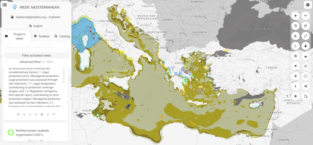
- The biodiversity category introduces 19 new vector views and WMS (specific observation and occurrence data, ecological characterization of Mediterranean seabeds, and parameters for the distribution of Mediterranean species).
- The climate change category features 12 new WMS views from the RICCAR climate projection project (precipitation and average temperature, as well as anomalies projected at various time scales under different IPCC scenarios, RCP 4.5 and RCP 8.5).
- The Energy sub-category provides two new vector views on the share of energy production from renewable sources and the proportion of energy consumption from renewable sources in PACA in 2020.
- The Fisheries and Aquaculture category presents three new vector views with operational data (location of trawlers in the Western Mediterranean, evolution of fishery production between 2010 and 2020, and the largest Mediterranean fish farming facilities in 2021).
- The Maritime and Coastal Risks category featuring three new views (2 vector and 1 WMS view) on potential collision risks with cetaceans in the Gulf of Lion basin and persistent pollutants in continental and marine areas.
- The Pelagos Sanctuary category includes two WMS views on aspects of sanctuary planning and governance.
- The Pollution and Litter category welcomes 5 new views (4 vector and 1 WMS) on the identification of waste disposal sites in coastal environments, concentrations of dissolved fertilizers, and contamination of environments by plastic waste.
- The Sea and Coast category unveils 3 new WMS views on benthic energy flows, high seas maritime boundaries, and the delineation of exclusive economic zones.
- Finally, the tourism category, with its new geospatial representations in WMS view (6 views) extracted from the European project IDestimed Plus.
These 53 new views enable a deeper understanding of the Mediterranean and its socio-economic developments, while also raising awareness of crucial environmental issues that deserve our attention. The Plan Bleu remains committed to providing quality tools and data to better understand the Mediterranean and to promote reflection on ways to support its sustainable development.