


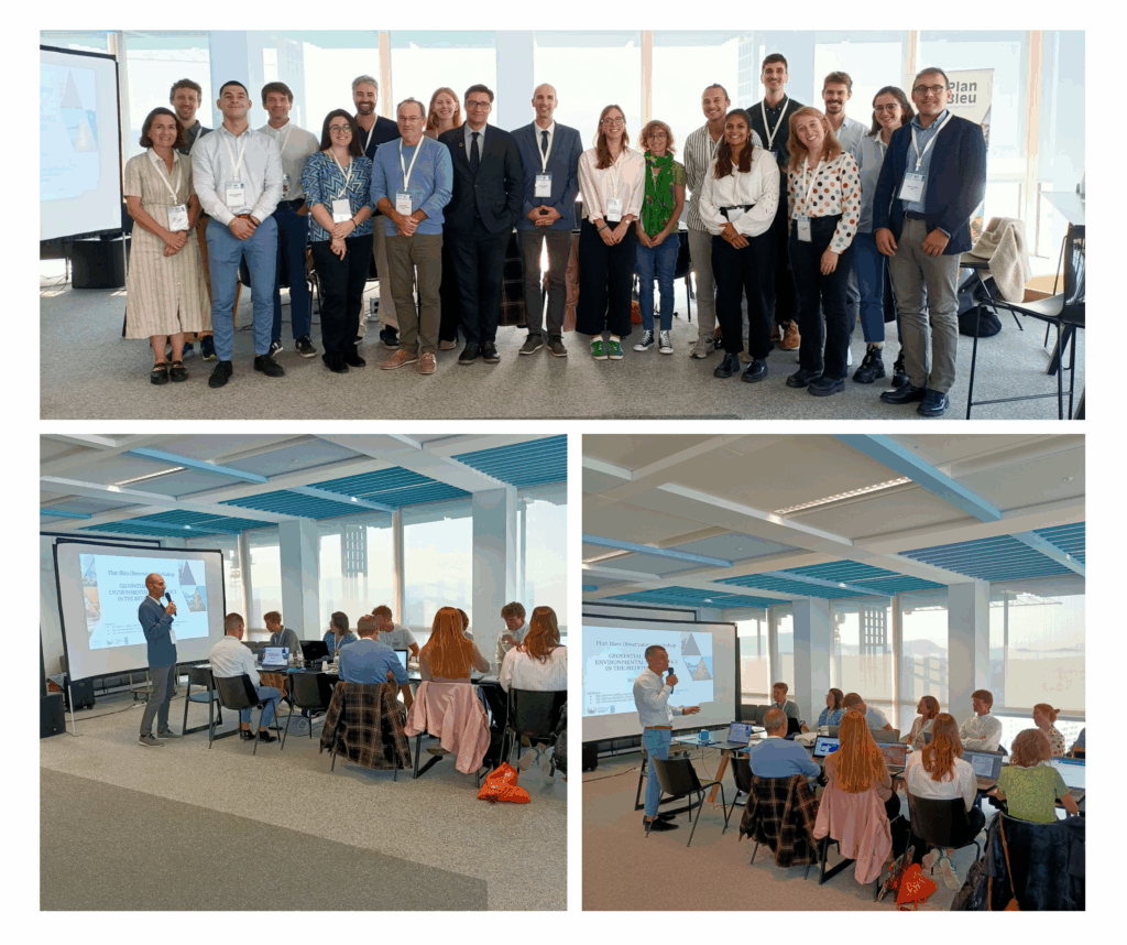
On October 16th in Marseille, Plan Bleu organized a regional workshop focused on the use of geospatial data to support environmental governance in the Mediterranean. Hosted at Plan Bleu headquarters, the event brought together around twenty experts from international, national, and local organizations, including MERCATOR Ocean, the European Environment Agency, GFCM, OFB, IUCN, La Tour du Valat, Wings of the Ocean, and MerTerre.
The workshop was opened by Antoine Lafitte, Deputy Director of Plan Bleu, alongside Samson Bellières, Programme Officer and GIS expert, and Antonio Benvenuti, GIS specialist at UNEP/GRID-Geneva.
A day structured around operationalizing data sharing and utilization
The morning session included:
-
An overview of the mandate and objectives of Plan Bleu Observatory,
-
A practical introduction to the MapX platform, a mapping tool developed by UNEP/GRID-Geneva and enhanced by Plan Bleu,
-
Participatory exercises to explore potential use cases for partners, including data visualization, interactivity, and sharing.
The afternoon focused on collaboration and openness:
-
Presentations of partner organizations’ data products and sharing conditions,
-
User feedback and experiences,
-
Identification of concrete synergies for future collaborative projects, including data sharing, interoperability, and scientific and technical partnerships.
Strengthening collaboration prospects
Discussions highlighted a strong interest among Mediterranean stakeholders in improving the mobilization and sharing of geospatial data to support public decision-making, in line with UNEP/MAP regional priorities. Several collaborative opportunities have already been identified, particularly regarding the sharing and valorization of strategic environmental datasets via the MapX tool and its functionalities.
The Blue Plan Observatory: a catalyst for Mediterranean data
In conclusion, participants emphasized the strategic value of the tools provided by Plan Bleu to enhance transparency, cooperation, and decision-making in the Mediterranean. The next steps will focus on formalizing identified collaborations and implementing concrete projects from 2026 onwards.
Data serving the Mediterranean – the time is now!